Displays 2D image as heightmap by using QGLviewer.
Usage: 3dImageViewer [options] input
Allowed options are :
-h [ --help ] display this message
-s [ --scale ] arg (=1) set the scale of the maximal level. (default
1.0)
-c [ --colorMap ] define the heightmap color with a pre-defined
colormap (GradientColorMap)
-t [ --colorTextureImage ] arg define the heightmap color from a given color
image (32 bits image).
-i [ --input-file ] arg 2d input image representing the height map
(given as grayscape image cast into 8 bits).
Example:
$ visualisation/3dHeightMapViewer -i ${
DGtal}/examples/samples/church.pgm -s 0.2
You should obtain such a result:
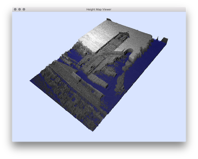
resulting heightmap visualisation.
- See also
- 3dHeightMapViewer.cpp
 1.8.10

