Crops a 3D vol image from domain coordinates.
Usage: volCrop –input <volFileName> –o <volOutputFileName> (both files can be independently in vol, pgm3D, p3d format)
Allowed options are :
-h [ --help ] display this message.
-i [ --input ] arg Input vol file.
--xMin arg (=0) x coordinate of lower point.
--yMin arg (=0) y coordinate of lower point.
--zMin arg (=0) z coordinate of lower point.
--xMax arg x coordinate of upper point.
--yMax arg y coordinate of upper point.
--zMax arg z coordinate of upper point.
-o [ --output ] arg (=output.vol) Output filename.
Example:
$ volCrop --xMin 50 --yMin 50 --zMin 10 --xMax 150 --yMax 150 --zMax 50 -i ${
DGtal}/examples/samples/lobster.vol -o croppedLobster.vol
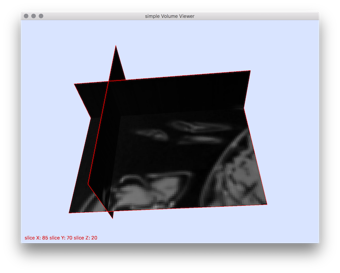
$ 3dImageViewer -i croppedLobster.vol
You should obtain such a visualization:

Resulting visualization.
- See also
- volCrop.cpp

 1.8.10